Maintaining America’s infrastructure is no easy task, especially when a $20 trillion dollar economy relies on its functionality. Keeping up with economic demand has proven difficult when we’re growing at a pace that our infrastructure currently can’t sustain and support. For each day that we build new roads, even more deteriorate at a quicker rate. Currently, 1 in 4 bridges is categorized as “deficient,” showing how much our systems are under stress and our workers are overburdened.
But, with advanced technologies, we can make up for the gap in infrastructure investments and efficiently restore bridges, roads, and utility assets, like cell towers, that are reaching the end of their lifespan. This is where drones help lift the burden off our infrastructure workforce while improving risk mitigation, saving time, and lowering costs. Check out these 5 statistics on drones in infrastructure to see why more companies are integrating drones into their processes.
1. Workers using drones discover over 20% more critical finds in their inspections when compared to traditional inspection methods, like helicopters.
Critical finds are crucial in any inspection, but even more so when it comes to wildfire mitigation. With drones, you receive more detailed insights and can achieve a level of prevention and reassurance that hasn’t previously been possible. That’s because drones can closely inspect remote areas workers can’t physically access and easily find what needs repairing before it sets off a spark. Less manpower and equipment are required, which also makes maintaining a regular inspection schedule practical.
Not only can you consistently conduct a more thorough and accurate inspection with drones, but you can also improve your asset management. With digital data platforms such as DroneUp, you’re able to store accurate records of inspections at the tip of your fingers. This makes reporting to regulatory agencies simple when you have high-resolution georeferenced photos in an easily accessible format.
2. Drones accelerate field inspections 3x by aerially capturing all the data you need, saving time in the field.
As with wildfire mitigation, using drones to prevent and monitor vegetation encroachment is highly efficient for a lower cost. Drones can be deployed easily to give you a detailed aerial view without the time and manpower that is traditionally required. Using drones is also highly accurate because they provide precise, in-depth data using point clouds. This type of measurable imagery helps you make better informed actionable decisions. Not only are you gaining better insights by eliminating human error, you’re also effectively mitigating risk and keeping your team out of harm’s way.
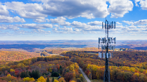
3. Drone operators can scan 3x more towers in the time a climber inspects 1.
Telecommunications companies that use drones for their inspections are able to increase their inspection schedules with reduced risk. Because drones only take a fraction of the time to collect valuable data, you can detect faults faster and use AI learning analytics to quickly ensure your network is reliable for your customers [all the while keeping your team on the ground]. The scalability of drones also makes it easy to efficiently and cost-effectively inspect towers nationwide and quickly provide line of sight analysis, grounding analysis, and more. With DroneUp’s robust pilot network and integrated platform, your turnaround time for receiving assets like digital twins and 3D models is significantly improved.
4. Using drones for bridge inspections requires about 1/6 of the labor hours as compared to manual inspections.
America’s aging infrastructure is not only a threat to our economy, but it is also a threat to public safety. Keeping our bridges and roads safe requires a thorough inspection to spot defects and any signs of deterioration that could put people in danger. With drones, more comprehensive inspections can be completed quicker with less risk to infrastructure workers trying to access hard-to-see areas underneath [where most faults are found]. New inspection angles and a full 360° view of all critical components gives your team the ability to analyze drone footage using their expertise without putting themselves at risk.
5. Drones use up to 87% less manpower and resources per mile inspected.
Each area of the U.S. is prone to natural disasters such as hurricanes, tornadoes, ice storms, floods, earthquakes, and landslides. In any of these situations, time is of the essence to collect data and act to save lives. Response teams can deploy more rapidly, find issues quicker, and help people get to safety more efficiently with drones. In these hazardous environments where manpower and resources may be limited, teams are kept safe while assessing the damage that may otherwise be inaccessible.
Technological advancements like drones are proven to safely extend workforces, improve risk mitigation, enhance data collection, save time, and lower costs.
“DroneUp developed and refined the data capture process so that it could be replicated using their pilot network at our customer’s facilities. The process was professional and well organized, we saved time and money to manage the implementation. We will definitely use DroneUp as an extended workforce in the future.” - Brian O'Neil, VP Sales & Services, MYNXG
If you're interested in integrating drones into your existing processes, contact us today to see how we can partner together to bring you these benefits.
